Cavan Libraries
My Account
My Account allows you to access your library account, anytime, anywhere. You can renew, request and update your details. You will need your library card number and PIN to login.
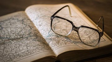
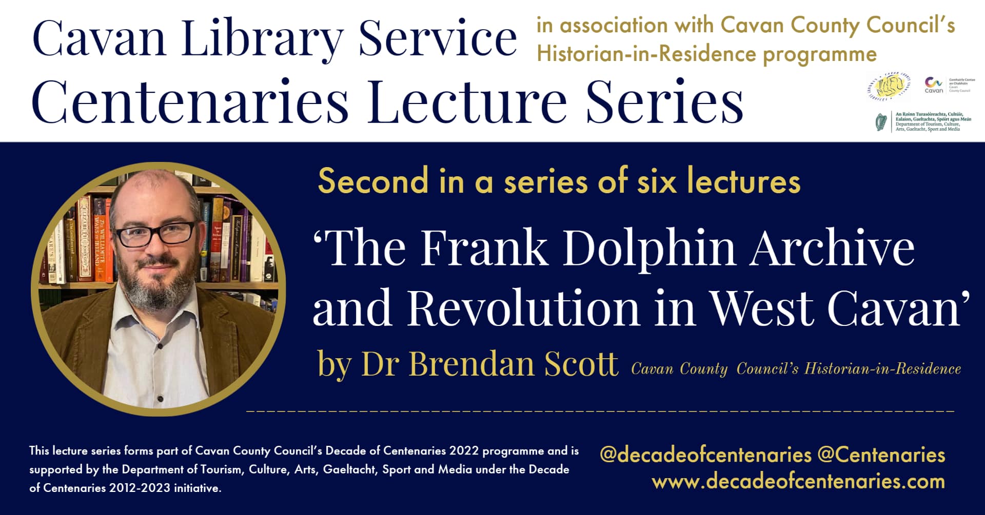
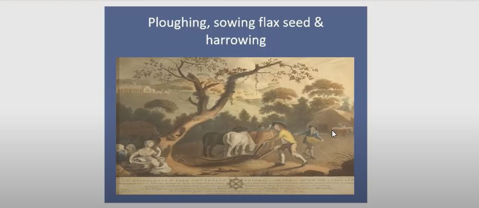
Cavan History
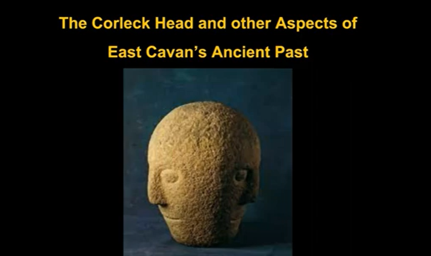
Explore Cavan's history, archaeology, literature and culture from our rich collection of resources which has been carefully built up over ninety years and continues to grow.
Library Catalogue
It couldn't be easier to find what you are looking for! You can now browse, search and reserve items held in Cavan Libraries and in public libraries across Ireland by accessing our online catalogue
on the morning of Wednesday 17 April.
Phone: +353 (0)49 4378500
Email: library@cavancoco.ie
Mon 10am-1pm & 2pm-5.15pm
Tue 10am - 8.30pm
Wed 10am-1pm & 2pm-5.15pm
Thu 10am - 8.30pm
Fri 10am-1pm & 2pm-5.15pm
Sat* 10am-1pm & 2pm-5.15pm
*Johnston Central Library is closed on the Saturday of Bank Holidays weekends.
on the morning of Wednesday 17 April.
Phone: +353 (0)42 9665779
Email: library@cavancoco.ie
Tues 1pm - 8.30pm
Wed 10am - 1.15pm & 2.15pm - 5.15pm
Thur 10am - 8.30pm
Frid 10am - 1.15pm & 2.15pm - 5.15pm
Sat* 10am - 1.15pm & 2.15pm - 5.15pm
*Bailieborough Library is closed on the Saturday of Bank Holiday weekends.
on the morning of Wednesday 17 April.
Phone: +353 (0)49 5559873
Email: library@cavancoco.ie
Tues 1pm - 8.30pm
Wed 10am - 1.15pm & 2.15pm - 5.15pm
Thur 10am - 8.30pm
Frid 10am - 1.15pm & 2.15pm - 5.15pm
Sat 10am - 1.15pm & 2.15pm - 5.15pm
*Cootehill Library is closed on the Saturday of Bank Holiday weekends.
Tue 10am - 1.15pm & 2pm - 5.15pm
Thurs 1pm - 4pm & 5pm - 8pm
Sat 10am-1.15pm & 2pm - 5pm
Email: library@cavancoco.ie
Tue 12pm-2pm & 3pm-6.30pm
Thu 2pm-5pm & 6pm-8.30pm
Sat 10am-1pm & 2pm-5pm
*Arva Library is closed on the Saturday of Bank Holiday weekends.
on the morning of Wednesday 17 April.
Phone: +353 (0) 49 9526844
Email: library@cavancoco.ie
Monday 10am-1pm & 2pm - 5.15pm
Wednesday 1pm-4.15pm & 5pm-8pm
Friday 10am-1pm & 2pm-5.15pm
on the morning of Wednesday 17 April.
Phone: +353 (049) 8544445
Email: library@cavancoco.ie
Mon 2pm – 5pm & 6pm - 8.30pm
Wed 2pm – 5pm
Note: Library Closed on Bank Holiday Mondays.
on the morning of Wednesday 17 April.
Phone: +353 (0)49 854 8456
Email: virginialibrary@cavancoco.ie
Tue 10am - 1.00pm & 2.00pm-5.15pm
Wed 10am - 1.00pm & 2.00pm-5.15pm
Thu 10am - 8.30pm
Fri 10am - 1.00pm & 2.00pm-5.15pm
Sat* 10am - 1.00pm & 2.00pm-5.15pm
*Virginia Library is closed on the Saturday of Bank Holidays weekends.
St Mary's Hall,
Kingscourt,
Cavan A82 D1H7
Email: library@cavancoco.ie
Note: Kingscourt Library is currently closed until further notice.
Any outstanding items may be returned to Bailieborough Library or your nearest branch.
Email: library@cavancoco.ie
County Librarian: Emma Clancy
Mon 9.15am-1pm & 2pm-5.15pm
Tues 9.15am-1pm & 2pm-5.15pm
Wed 9.15am-1pm & 2pm-5.15pm
Thu 9.15am-1pm & 2pm-5.15pm
Fri 9.15am-1pm & 2pm-5.15pm
Sat Closed.
Popular Links
Creative Cavan
Harnessing the creative potential of our people and communities is a cornerstone of the Creative Ireland Programme. Cavan County Council has established Creative Cavan, Culture and Creativity Team which brings together local expertise in arts, heritage, libraries, enterprise and community engagement, to foster collaboration and spark new initiatives.
My Account - Renew & Request
My Account allows you to access your library account, anytime, anywhere. You will need your library card number and PIN to login.
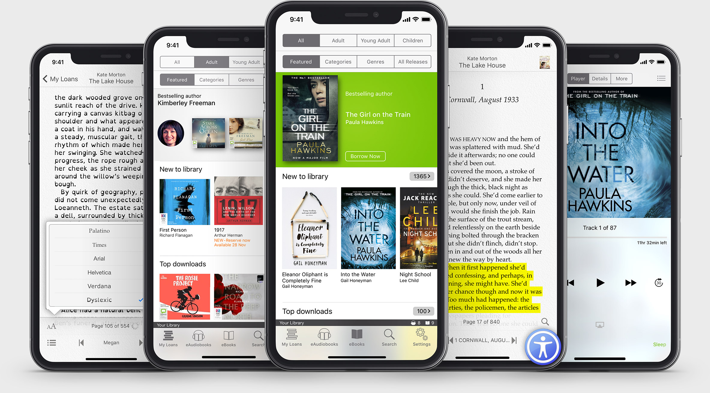
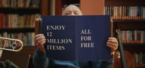
Online Library & Learning
FREE access to eBook, eAudiobooks, digital magazines and international newspapers, online courses and language learning.
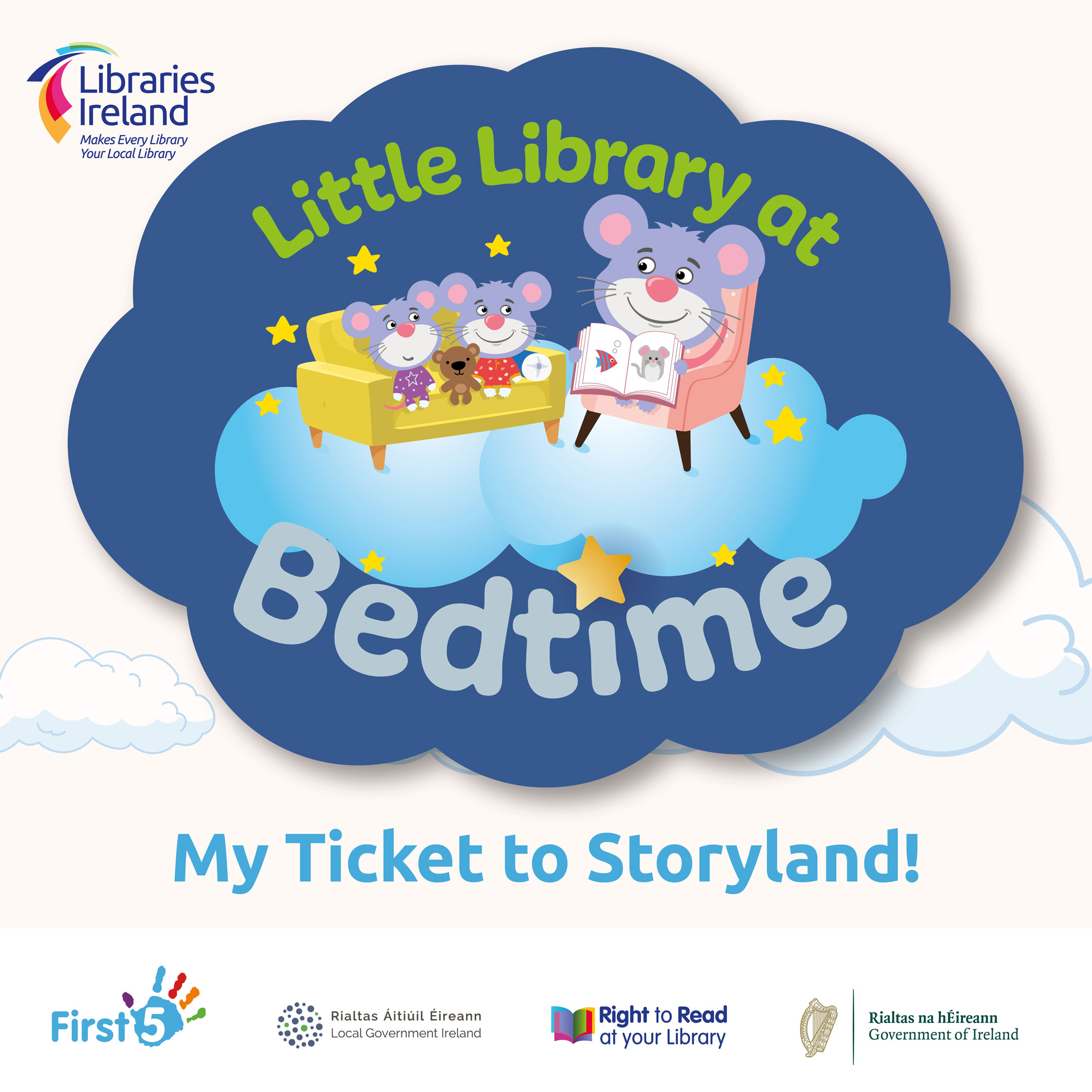
Little Book at Bedtime
Free bedtime story books and library card wallets are available at the library for all children of 4 years and under, to pick up and keep. All children are invited to join the fun, so pop into your local library and start your child on their adventure today!
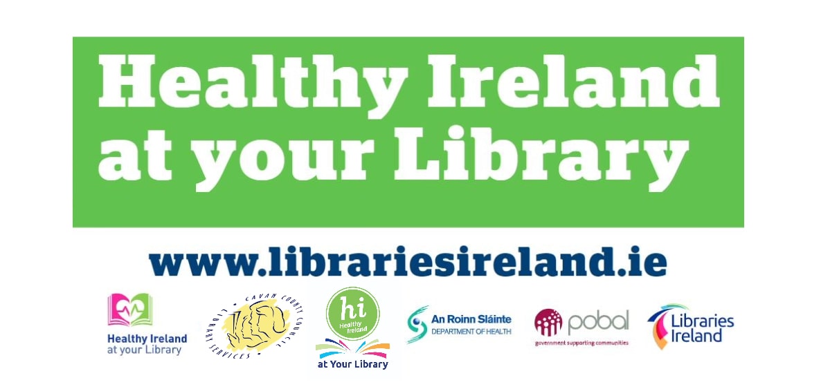
Healthy Ireland at Your Library
Healthy Ireland at Your Library service is a key element of ‘Healthy Ireland’, a Government-led initiative to improve health and wellbeing. Access book collections, e-books & e-audiobooks, e-magazines and provides events focused on health and wellbeing.
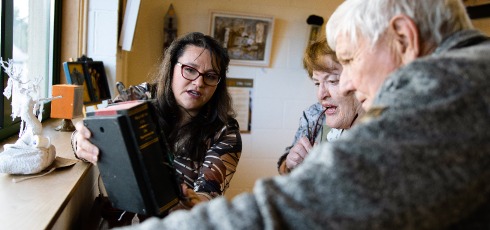
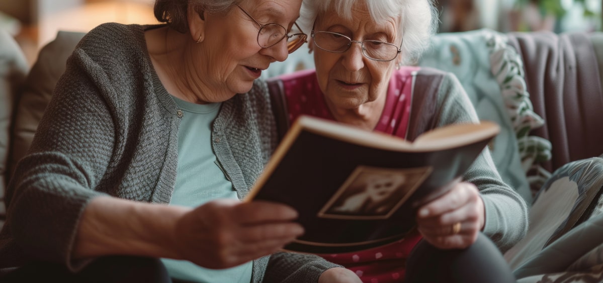
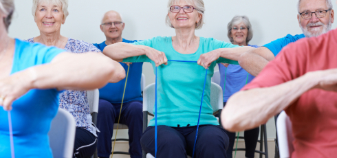
Image Gallery
Browse through images from events in our libraries across Co. Cavan.
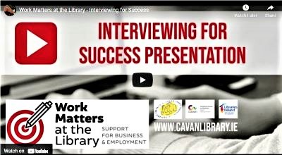
Events
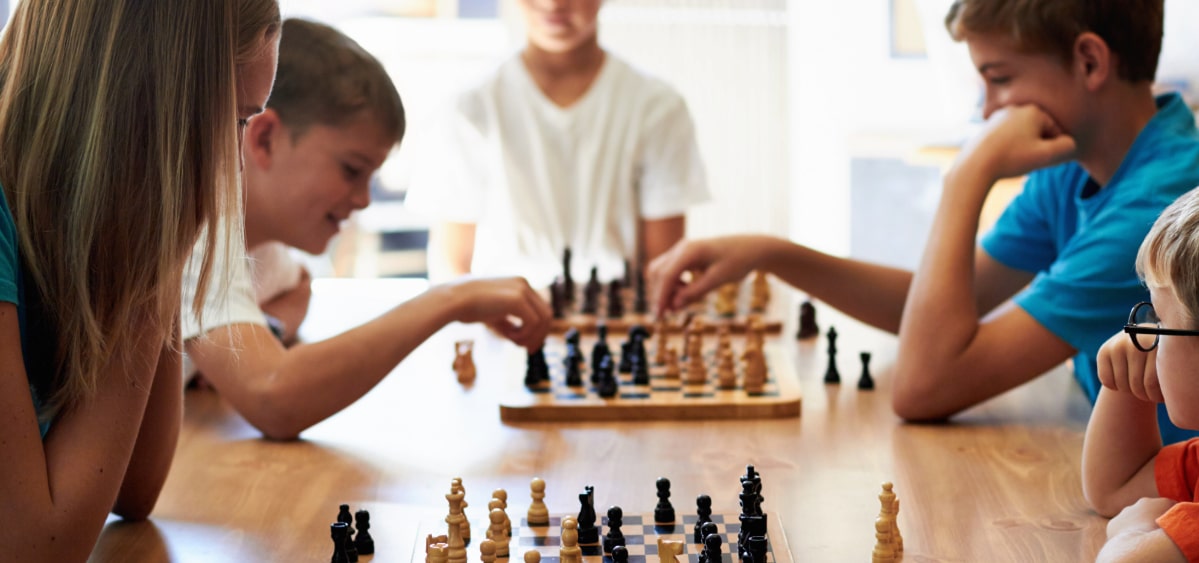
Chess Classes for Children
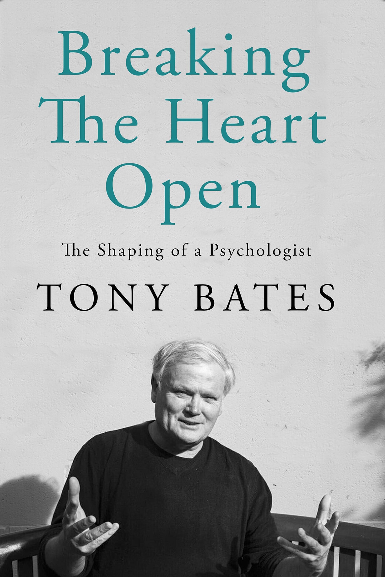
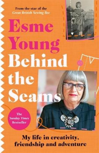
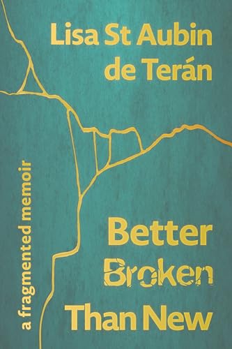
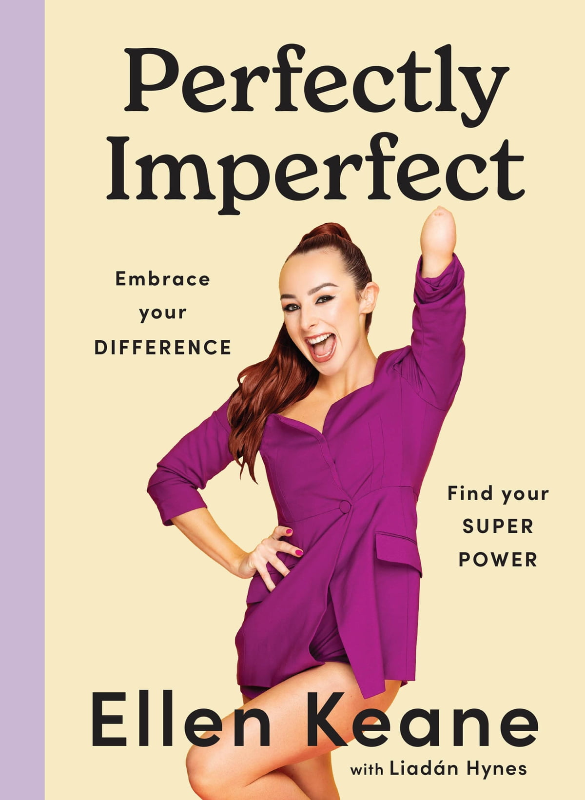
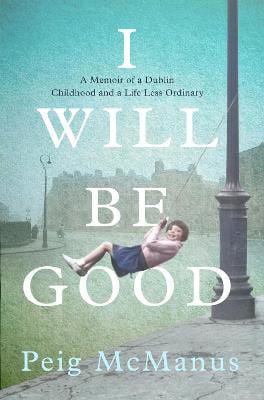
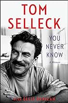
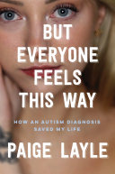
Who doesn't love a good biography?